One Platform for Every Ag Operation
Each agricultural use type has specific intensity standards set by your county appraisal district. LandComply tracks your activities against those standards so you always know where you stand.
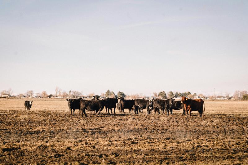
Livestock Grazing
Cattle, goats, sheep, horses — track stocking rates, animal unit calculations, and herd management activities. The most common qualifying use in Texas.
Livestock compliance guide →Crop Production
Row crops, grain sorghum, cotton, corn, wheat, vegetables — document planting, cultivation, harvest, and sales records for your annual filing.
Crop production guide →Hay Production
Coastal bermuda, native hay, alfalfa — track cutting schedules, bale counts, and sale/use documentation that CADs require for hay operations.
Hay production guide →Beekeeping
Minimum 6 hives on 5-20 acres in most counties. Track hive inspections, honey production, colony health, and management activities.
Beekeeping guide →Exotic Livestock
Axis deer, nilgai, blackbuck, emus, ostriches — specialized stocking rate calculations and animal unit equivalents for non-traditional livestock.
Exotic livestock guide →Aquaculture
Fish farming, crawfish production, shrimp — document stocking rates, harvest records, and qualifying production activities.
Aquaculture guide →Orchard & Vineyard
Fruit trees, pecans, grapes, citrus — track orchard management, pruning, irrigation, harvest records, and production volumes.
Orchard & vineyard guide →Custom & Mixed Operations
Many Texas properties operate multiple qualifying uses on a single tract. LandComply tracks all activities across use types in a single dashboard.
Find your county requirements →